libgd-gis
Map Viewport and Bounding Box Configuration
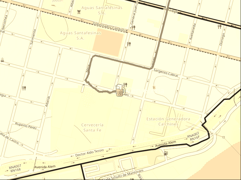
This section explains different ways to define the viewport and final image size when rendering maps with libgd-gis.
Case 1: You know the final map size
BBOX_PARANA_SANTA_FE = [
  -61.05,
  -32.10,
  -60.35,
  -31.40
]

map = GD::GIS::Map.new(
  bbox: BBOX_PARANA_SANTA_FE,
  zoom: 11,
  basemap: :esri_satellite,
  width: 800,
  height: 600
)
Case 2: Automatically fit the map to a GeoJSON
GEOJSON = "data/home_store.geojson"

bbox = GD::GIS::Geometry.bbox_for_image(
  GEOJSON,
  zoom: 13,
  width: 800,
  height: 600,
  padding_px: 100
)
Case 3: Generate a map from a point and radius
STORE = [-60.69128666, -31.64296384]

bbox = GD::GIS::Geometry.bbox_around_point(
  STORE[0],
  STORE[1],
  radius_km: 0.5
)
Notes
width and height are optional. If omitted, the engine calculates the final image size automatically.