libgd-gis
Configuración del viewport y bounding box
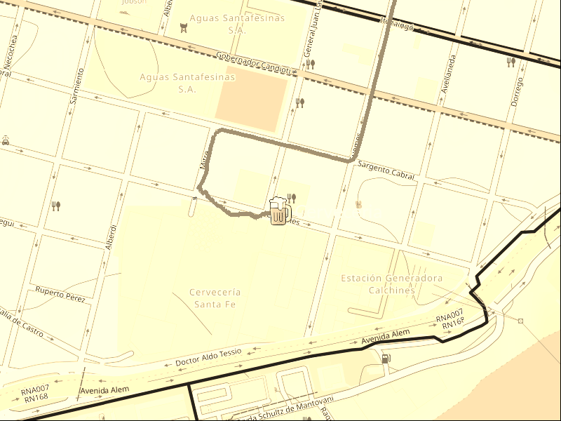
Esta sección describe cómo definir el viewport y el tamaño final de la imagen al renderizar mapas con libgd-gis.
Caso 1: Conocés el tamaño final del mapa
BBOX_PARANA_SANTA_FE = [
  -61.05,
  -32.10,
  -60.35,
  -31.40
]

map = GD::GIS::Map.new(
  bbox: BBOX_PARANA_SANTA_FE,
  zoom: 11,
  basemap: :esri_satellite,
  width: 800,
  height: 600
)
Caso 2: Ajustar automáticamente el mapa a un GeoJSON
GEOJSON = "data/home_store.geojson"

bbox = GD::GIS::Geometry.bbox_for_image(
  GEOJSON,
  zoom: 13,
  width: 800,
  height: 600,
  padding_px: 100
)
Caso 3: Generar un mapa desde un punto con radio
STORE = [-60.69128666, -31.64296384]

bbox = GD::GIS::Geometry.bbox_around_point(
  STORE[0],
  STORE[1],
  radius_km: 0.5
)
Notas
width y height son opcionales. Si no se especifican, el tamaño se calcula automáticamente.