Render Preview
Preview of the generated map. If the image does not appear, verify the src path.
# Create output directory
mkdir output

# Install dependency
gem install libgd-gis

# Run the script
ruby multi_line_string.rb
Expected output:
✔ Generated: output/multi_line_string.png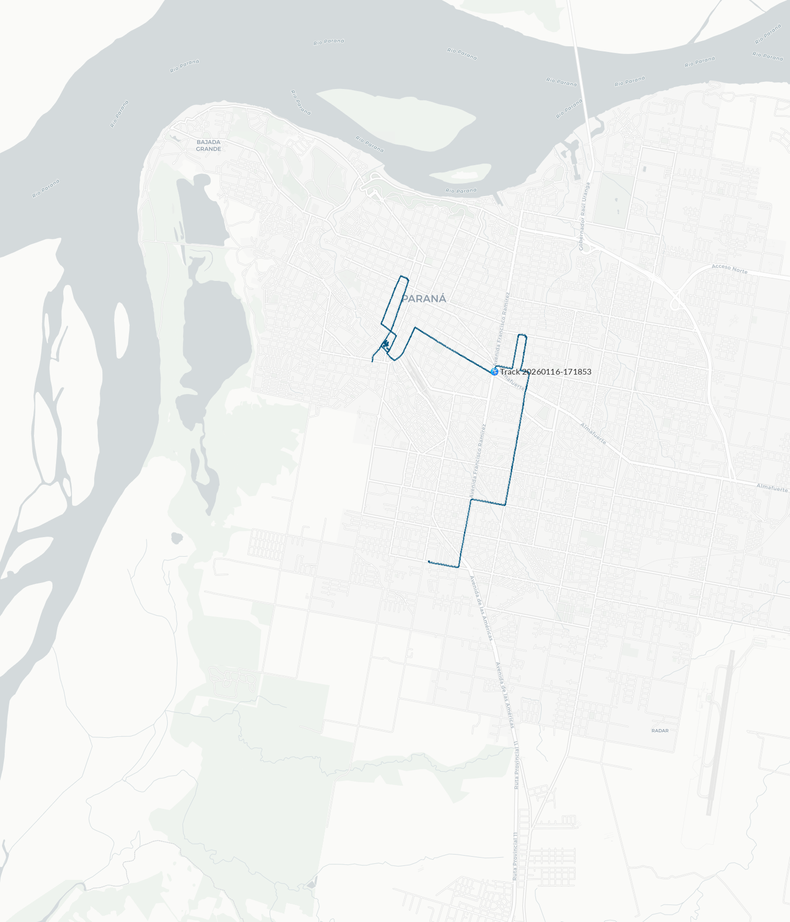
Generated with libgd-gis · Basemap © Carto
Style definition (light.yml)
global:
  # Set to 'false' to disable labels entirely
  # If enabled, the following options apply
  label:
    color: [35, 35, 35, 20]
    # Optional.
    # Format: [r, g, b] or [r, g, b, a]
    # Use nil for random color

    font: /usr/share/fonts/truetype/lato/Lato-Regular.ttf
    # Optional.
    # Use nil for random font
    # Use 'default' for the system default font

    size: 12
    # Optional.
    # Use nil for a random size between 6 and 12
    # Default size is 10

    icon: icon.png
    # Optional.
    # Use nil to render a colored dot with a border instead of an icon

track:
  track:
    stroke: [0, 85, 127, 250]
    # Optional.
    # Format: [r, g, b] or [r, g, b, a]
    # Use nil for random color

    stroke_width: 3
    # Optional.
    # Default value is 3

order:
  # Drawing order (layers rendered from bottom to top)
  - track
Ruby script (multi_line_string.rb)
require "json"
require "gd/gis"

OUTPUT = "output/multi_line_string.png"

# Bounding box that defines the visible map area.
# Format: [min_longitude, min_latitude, max_longitude, max_latitude]
# Covers the urban area of Paraná, Argentina.
PARANA = [-60.58, -31.82, -60.49, -31.70]

map = GD::GIS::Map.new(
  bbox: PARANA,
  zoom: 14,
  basemap: :carto_light
  # Available basemap styles:
  # :osm
  # :osm_hot
  # :osm_fr
  # :carto_light
  # :carto_light_nolabels
  # :carto_dark
  # :carto_dark_nolabels
  # :esri_satellite
  # :esri_hybrid
  # :esri_streets
  # :esri_terrain
  # :stamen_toner
  # :stamen_toner_lite
  # :stamen_terrain
  # :stamen_watercolor
  # :topo
  # :wikimedia
  # :railway
  # :cyclosm
)

map.style = GD::GIS::Style.load("light")
map.add_geojson("data/route.geojson")

map.render
map.save(OUTPUT)
puts "✔ Generated: #{OUTPUT}"